Cameroon
Сlimate of Cameroon
The climate varies with terrain, from tropical along the coast to semiarid and hot in the north. Exceedingly hot and humid, the coastal belt includes some of the wettest places on earth. For example, Debundscha, at the base of Mt. Cameroon, has an average annual rainfall of 405 inches (10,287 mm).
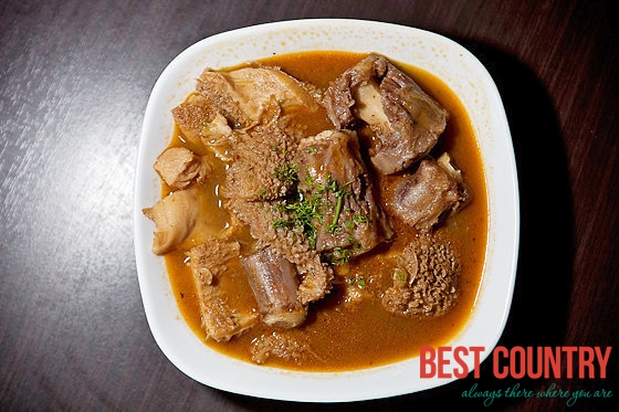
Cameroonian cuisine
Cameroonian cuisine is one of the most varied in Africa due to its location on the crossroads between the north, west, and centre of the continent; added to this is the profound influence of French food, a legacy of the colonial era.
Rivers of Cameroon
The country has four patterns of drainage. In the south, the principal rivers flow southwestward or westward directly to the Gulf of Guinea — the Wouri, and lesser Dibamba, Bimbia and Mungo to the Cameroon estuary near Douala; Sanaga, Nyong, and Ntem further south along the coast; Akwayafe and Manyu (which joins Nigerian Cross), and the lesser Ndian and Meme in the north of coast.