Algeria
Christmas in Algeria
"Santa Claus" came down to the streets of Tizi Ouzo, without asking permission, and here he is ... making the rounds gleefully in his carriage full of bells, attracting people who are weak in their faith and distributing "presents" to them.... All this happens without anyone saying anything or raising any objection, from the Ministry of Religious Affairs to the last of those authorities who are zealous for Islam.
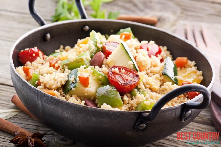
Food in Algeria
Traditional Algerian food shows the historic influences of Berber, Arab, Turkish, and French tastes. It can be mild or very spicy and many flavoring are used. Algiers and popular coastal towns have a fair selection of good restaurants, serving mainly French and Italian-style food, though even classic dishes will have an unmistakable Algerian quality. Fish dishes are exceptionally good.
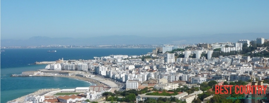
Algiers is capital city of Algeria
Downtown Algiers, Algeria
Known as Alger in French and Al Djazair in Arabic, Algiers is the capital city of Algeria on the Mediterranean Coast. The skyline is dominated by two shapes: the Martyrs Monument (Makam ech-Chahid) in the south and in the city center, the box-like shape of the Hotel Aurassi.